France TOP100 (IGN)
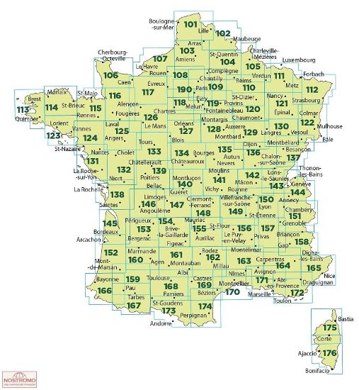
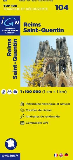
| Publisher: | Institut Geographique National |
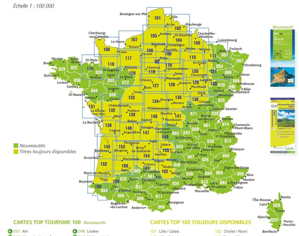
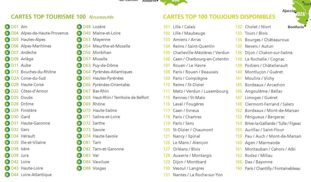
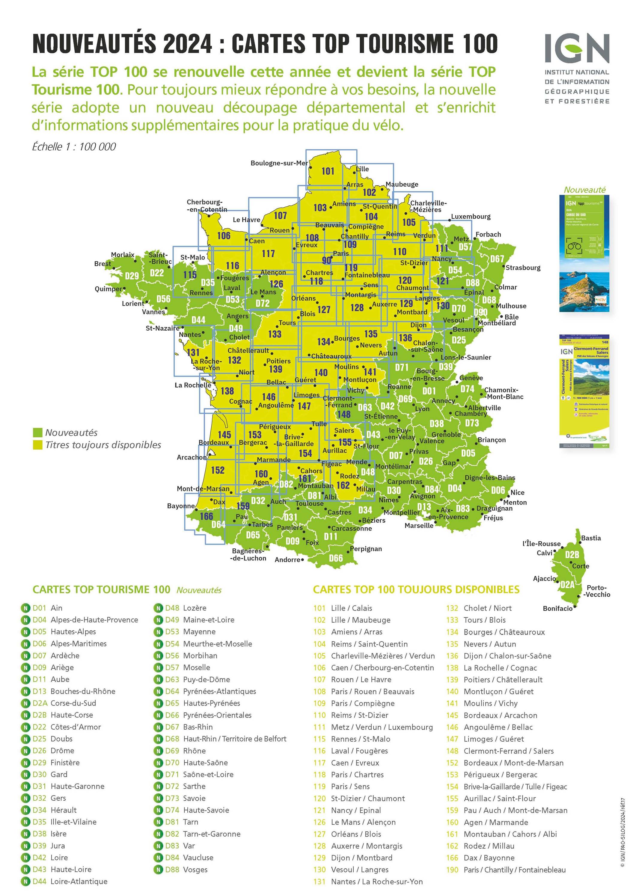
| Scale: | 1:100'000 |
| Language: | English, German, French |
| Country: | France |
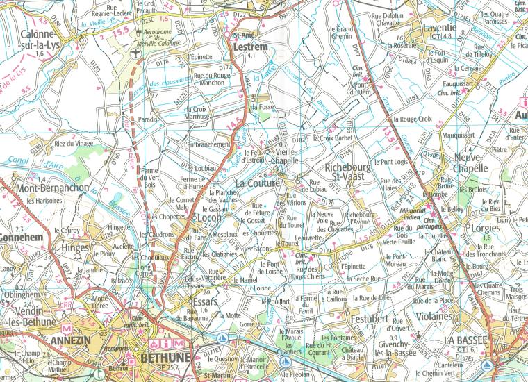
- TOP100 road maps of France are exceptionally detailed, contoured road maps
- Ideal for exploring the French countryside by car, by bike, or even on foot
- The series includes plenty of tourist information
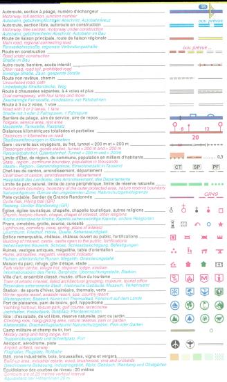
- For walkers the maps have an overprint highlighting long-distance footpaths, the GR routes, making them an ideal supplement to topo-guides
- A wide range of symbols mark various places of interest, sport and recreational facilities, mountain refuges
- The maps carry all the usual information found on topographic maps at this scale: peaks, glaciers, passes, names of mountain ranges and other geographical features, railways with stations, funiculars, ski and chair lifts, administrative boundaries, etc. Map legend includes English
Related Items:
| Image | Title | Category | Price | Buy | |
|---|---|---|---|---|---|
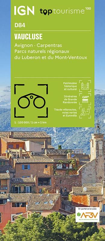 |
(D84) Vaucluse | Tourism maps | EUR 9.95 | ||
| France TOP100 (IGN) (81) | Page Nr. 5 no 5 | ||||