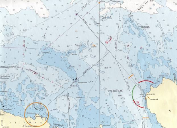
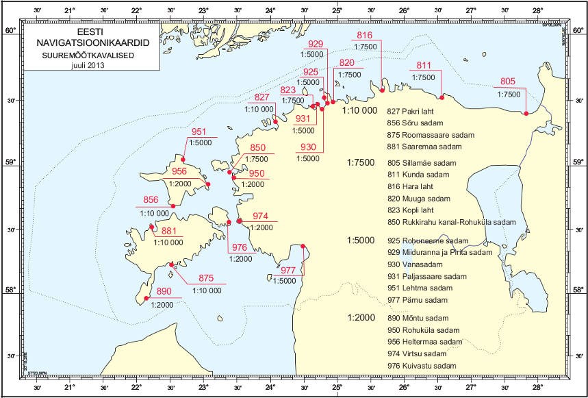
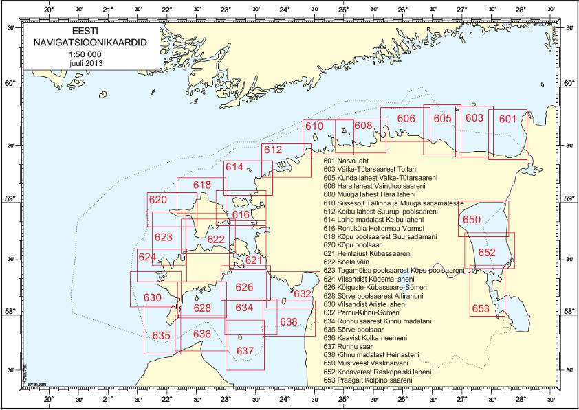
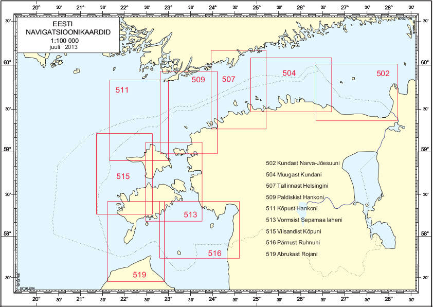
Eesti merekaardid - Navigational Charts of Estonia
| Publisher: | Eesti Veeteed Amet |
| Pages/Scale: | 1:2'000 – 1:250'000 |
| Language: | Estonian, English |
| Country: | Estonia |
Related Items:
| Image | Title | Category | Price | Buy | |
|---|---|---|---|---|---|
 |
Vanasadam Harbour (930) | Nautical maps | EUR 39.95 | ||
 |
Vilsandi Island to Ariste Bay (630) | Nautical maps | EUR 39.95 | ||
 |
Vilsandi Island to Küdema Bay (624) | Nautical maps | EUR 39.95 | ||
 |
Virtsu Harbour and Virtsu Vanasadam Harbour (974) | Nautical maps | EUR 39.95 | ||
 |
Vormsi Island Sepamaa Bay (513) | Nautical maps | EUR 39.95 | ||
| Eesti merekaardid (65) | Page Nr. 4 no 4 | ||||


